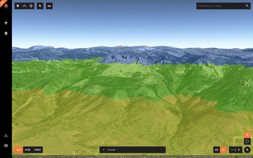


Our Terrain Layer (elevation bands) is one of the best ways to quickly analyze a state to narrow down where you might want to do your research and scouting efforts. Animals move across the landscape and occupy different elevation bands during different parts of the year. Using this layer will help you analyze the unit you are hunting and will allow you to fine-tune your research. This layer is even more powerful when you jump into 3D.
Elevation layers are broken up into the following bands:
If you’re an Insider, GOHUNT Maps is included in your membership at no additional cost.
If you aren’t a member, you can learn more here.
11,500+ ft
10,000 - 11,500 ft
8,500 - 10,000 ft
7,000 - 8,500 ft
5,500 - 7,000 ft
4,000 - 5,500 ft
< 4,000 ft