

Using the GOHUNT mobile app for glassing point map research.


One of the main reasons that the majority of western hunters e-scout is to find areas that we can glass from using our optics. The West has some huge country, which is why this saying makes a lot of sense: “Let your glass do the walking.” However, to do that, you’ll need to be set up in the best places across the landscape — the ones that provide the best vantage. The GOHUNT Topo Map is one of the best tools to find those vantage points easily and efficiently.
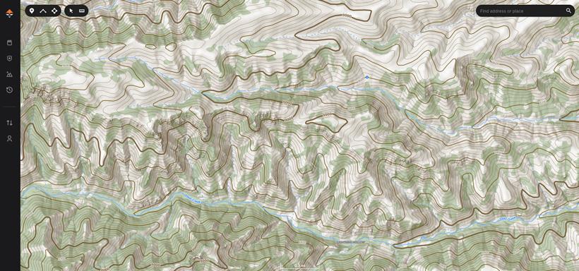
I typically start on the desktop version of our Maps because it gives me the largest view of an area.
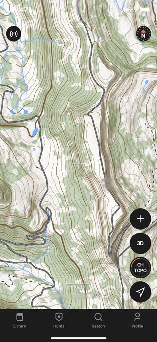
However, this can easily be done on our mobile app as well. I’ve used this in the field offline when trying to make a play on a specific animal.
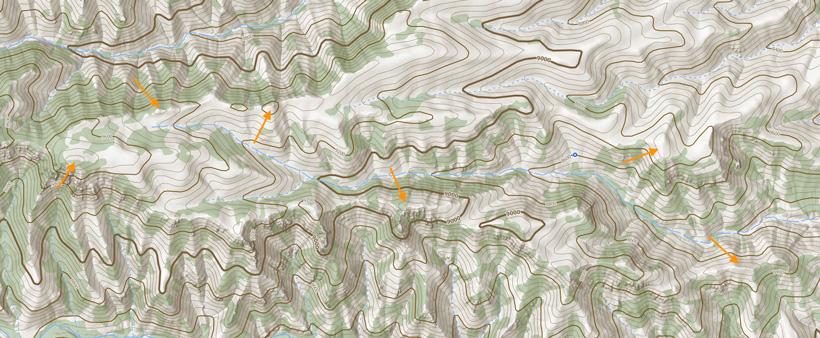
With the topo map pulled up and zoomed in just a little, the contour lines start to pop. Once you are in the area that you are interested in, start looking for the circles. These are where the contour lines are starting to peak out around the high spots. Sometimes, you get lucky and find sharp points that have tight little circles; however, most of the time, you’ll find long skinny ovals that represent ridge tops. In this case, I typically look at the ends or edges of those.
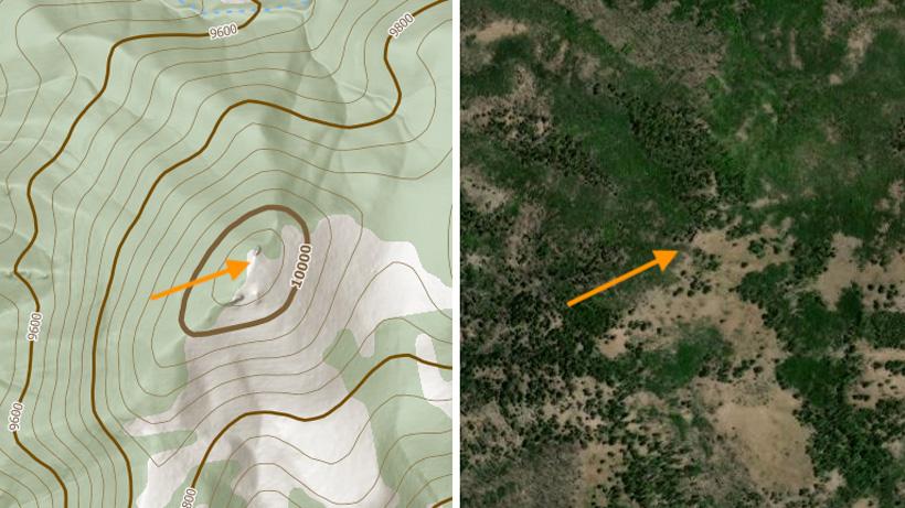
Once you have these points identified, there are a few other things to consider. The main one is whether the vegetation on the landscape is going to allow you to see out. The color shading on the GOHUNT Topo indicates vegetation cover or tree cover. If a point is completely covered in green, chances are that you might not be able to see out, especially if you are hunting an area with pine or conifer-type trees. I have been able to get away with glassing from aspen or quakie-covered ridges.
At this point in the game, I will start to toggle between satellite imagery and topo, just to verify vegetation and try to make sure I can hopefully see out.
The final step is to drop a pin, label it, and verify it when you get into the field. These are obviously the basic beginning steps to finding glassing locations using a topographical map. There are numerous combinations of layers, especially once you take into account Terrain Analysis, Historical Imagery, and other tools that you could use to help pinpoint where exactly you want to be on the landscape, depending on what type of hunt you have planned. If you’d like us to dive into more details with certain scenarios, drop a comment below and let us know what you are interested in.