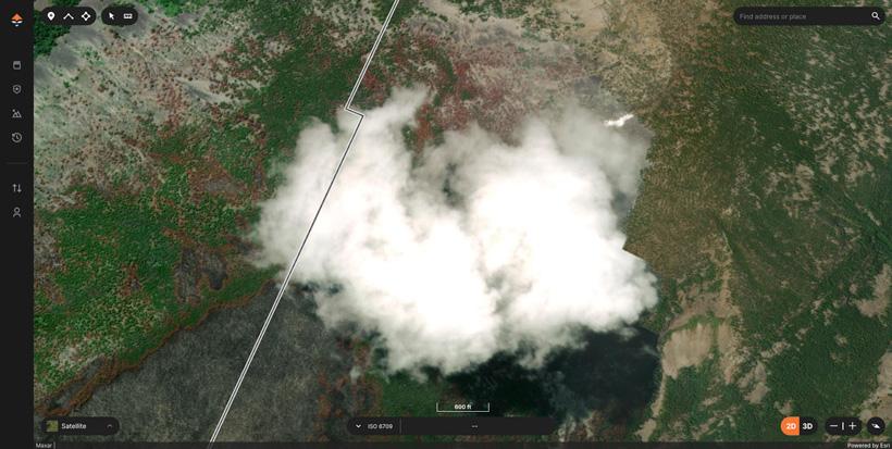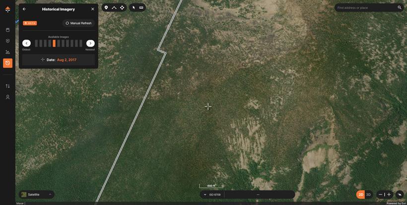


Nothing irks me more than finding a potential basin while e-scouting only to find the area I want to see obscured by a giant cloud. Traditionally, this meant opening another mapping program to see if the imagery was any different; sometimes it was, sometimes it wasn’t. Recently, we solved this issue on GOHUNT Maps with the launch of our new Historical Imagery tool. No more jumping from app to app — the best e-scouting platform just got even better!
If you do happen to encounter any cloud cover while using GOHUNT Maps you are only a few clicks away from solving the issue and dissolving your woes.
After identifying the location with cloud cover your next step is to simply open the Historical Imagery tool and then begin scrolling through the library of available images. In the above example, I scrolled back a few years and found a great piece of imagery that also shows what this area looked like pre-burn.
Cloud cover is something that is largely minimized in most of today's recent imagery, but they still do slip through from time to time. Using this exact example can also be a great way to get different views of an area that may be covered in snow or shadows as well.
If you’re not familiar with GOHUNT, check out the link below to learn more about everything we cover to make your e-scouting and hunting efforts more successful. You can find everything needed to have your best season ever with a GOHUNT membership. You can also check out our maps and research tools on a 7-day free trial.