


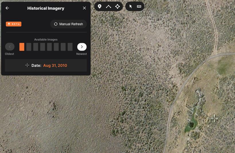
As some of you have seen, we’ve recently released Historical Imagery to our web portion of GOHUNT Maps. This tool is only accessible on your desktop; for me, there is no other way to use it. Out of the gates, I was insanely impressed with being able to look at specific areas over a multiple-year span. It gives you a great look at how the landscape has changed, and the biggest reason that I use it is for water sources. Whether that’s a water source for myself, like camp water, or it’s a source that the animals would use throughout the season. With all of the mapping systems out there today, there are certain springs, creeks, and rivers that are clearly marked and visible. However, as most of us know, there are many water sources out there that aren’t marked on any map. Some of these can either be small springs that are flowing year-round or seasonal sources that might only show up on a good water year.
Historical Imagery is paramount when it comes to these mysterious water sources. There have been too many times while e-scouting where I’ve stumbled across areas that look like springs, but after a long hike in, I realize that it’s dry and only seasonal. I also had a recent experience where I planned to use a high mountain drainage lake for my main water source and although it was there in July, I realized it would not be there by the time September rolled around. So it was back to the drawing board. Now, with Historical Imagery, you can look and compare these areas over multiple years, which should give you confidence on whether or not a source is reliable.
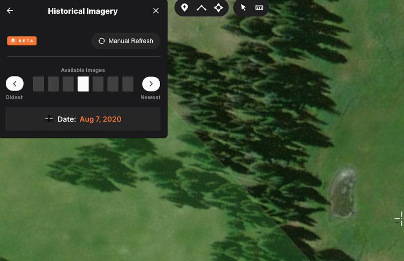
As you can see from the above example, this is a water source that is present every year between the months of July and August.
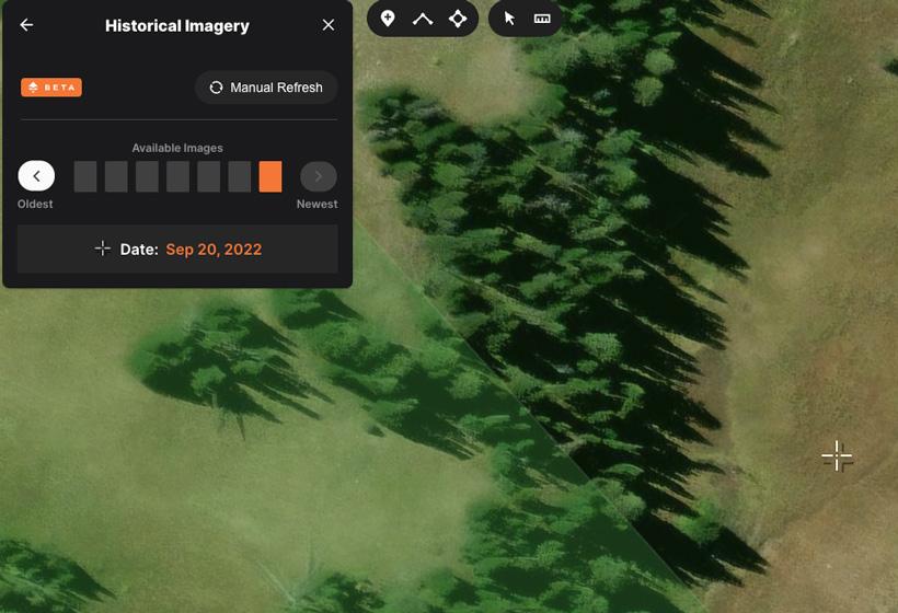
Now in the above image, this same water source is gone/dried up by the time the middle of September rolls around.
This tells me that although I should be able to rely on this throughout my scouting trips, I can’t depend on this water source to be there by the time season rolls around. So I now have two options: either find a completely different area to camp and hunt from, or if I’m dead set on hunting this area, then I will have to find a secondary source nearby.
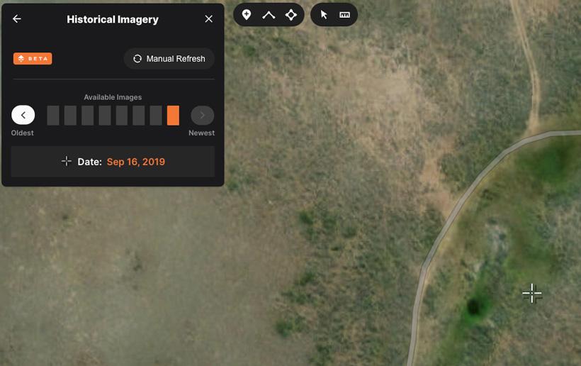
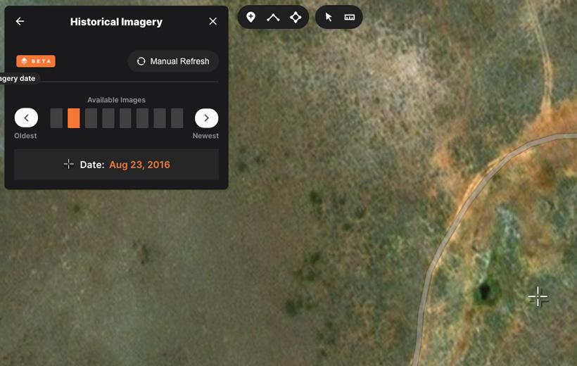
For this example, I used an unmarked spring that’s not labeled on any BLM or Forest Service map. I found this spring years ago off of satellite imagery, and it turns out that this is a good annual water source. I just happened to get lucky the first time I went in to check out this spring and noticed that it was a legitimate source.
Now, with Historical Imagery, you can go back in time and verify that it, in fact, holds water year after year before you put boots on the ground.
Using Historical Imagery in this manner can also be used for assessing elk wallows or early season water seeps for desert hunting antelope, etc. Even if you find a water hole that’s not an annual producer, you can still keep those in mind if you have an early season hunt on a phenomenal water year. I encourage you to play around with this Historical Imagery feature because it can save you a lot of time and help you be better prepared for the adventures ahead.
Be on the lookout for more tips and tactic articles regarding different ways you can utilize this tool. Those tips articles can all be found here.
If you’re not familiar with GOHUNT, check out the link below to learn more about everything we cover to make your e-scouting and hunting efforts more successful. Everything you need to have the best season ever can be found with a GOHUNT membership. You can also check out our maps and research tools on a 7-day free trial.